
[ad_1]
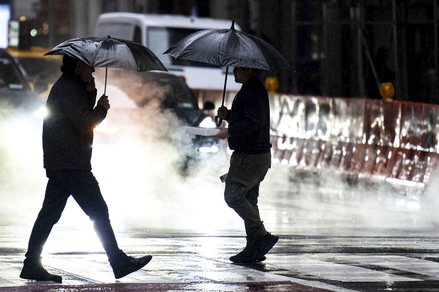
A powerful weather system is battering the tri-state area with heavy rain and strong winds Saturday as a fast-moving storm blankets northern New England with snow.
A flood watch went into effect Saturday morning for the New York City metro area through central and southern New Jersey. The storm could dump up to 4 inches of rain on parts of the region.
The heaviest rainfall is expected in the afternoon and early evening, and minor flooding in low-lying areas such as roads and yards is possible.
Isolated flooding late Saturday and into Sunday is also expected.
The New York City area is also under a wind advisory, with winds up to 25 mph expected throughout the day, according to the National Weather Service.
The weather agency cautioned that winds of that speed could cause flying debris, power outages and could send unsecured objects flying into the air.
Even stronger wind gusts of 45-50 mph are expected.
Weather conditions are causing major delays across New York City airports. Arrivals at John F. Kennedy International Airport are delayed an average of three hours as of 5 p.m. EST, according to the Federal Aviation Administration. A traffic management program is in effect at La Guardia Airport, delaying some arrival and departure flights.
Philadelphia already surpassed a daily rainfall record and is experiencing its wettest day in March since 1872 with 3.06 inches of rain, according to National Weather Service.
Elsewhere, a fast-moving storm is dumping snow across parts of northern New England. More than 30 million people from the northern Rockies and Upper Midwest through the central Great Lakes into New England are under winter alerts.
Light to moderate snow is expected for the Upper Midwest to the Great Lakes, where 2 to 7 inches will fall. In the northern New England area, snow as high as 12 to 18 inches is expected.
The Maine Emergency Management Agency said the storm could bring the largest snowfall of the season and urged motorists to use caution.
“Mixed precipitation in some areas will make for especially hazardous travel conditions,” the agency said in a post on X. “Check your local forecast for conditions.”
In the Twin Cities area, the storm could bring more than 12 inches. Combined with a 2.9-inch accumulation from a “teaser” snowstorm Thursday night and Friday morning, snow totals could exceed the 14.3 inches that had fallen in the previous season.
[ad_2]